Drone footage in a tourism video for Scotland has become an expected line in almost every brief, and the expectation is not always the right one. Aerial cinematography earns its place when it shows something a ground-level camera genuinely cannot: the scale of a coastline, the relationship between a route and the land it crosses, the geometry of a loch against the hills that surround it. It earns nothing when it is included because a client assumes every tourism film needs a drone shot, rather than because the story actually calls for one. Deciding which applies is one of the more consequential judgement calls in a destination production, and it shapes both the cost of a shoot and the quality of the finished film.
What drone footage actually adds to a tourism video
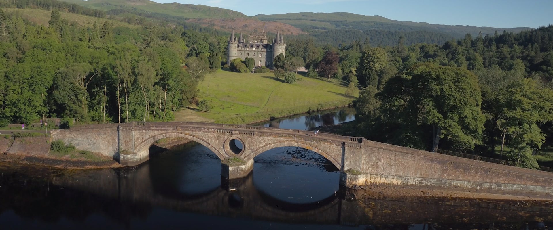
The honest case for a drone is scale and relationship. A walker on a hillside tells you almost nothing about where that hillside sits in the wider landscape. Pull the camera back and up, and the same walker becomes a single figure against a glen, a coastline, or a mountain range, and the viewer understands the geography in a way that ground-level coverage cannot deliver on its own. That is the specific job aerial cinematography does well: establishing scale, showing the shape of a route or a coastline, and revealing the relationship between landscape features that only becomes visible from altitude.
What it does not do well is intimacy. A drone shot rarely tells you anything about a person’s expression, the texture of water on skin, or the effort in someone’s stride. Those things need a camera close to the subject, at eye level or below it. A tourism film that leans entirely on aerial coverage tends to feel beautiful and empty at the same time, all landscape and no story. The strongest films move deliberately between the two registers rather than defaulting to one.
When ground-level footage tells the story better
Some briefs are wrongly assumed to need drone work simply because they are set outdoors. A single walking trail through woodland, a coastal path with limited elevation change, or an activity that happens mostly at water level often communicates better through ground and water-level cinematography than from the air, because the aerial version adds cost and complexity without adding information the viewer needs. Part of running a tourism production properly is telling a client honestly when a drone day will not improve the film, not defaulting to it because it is available.
Establishing scale on the Hebridean Way
When we filmed 24 Hours: Mark Beaumont Rides the HebWay for Outer Hebrides Tourism Association, drone footage did a job that no ground camera could have managed: establishing the epic scale of the 185-mile route as Mark Beaumont cycled the length of the Hebridean Way from Vatersay to the Butt of Lewis in twenty-four hours. Aerial shots showed the relationship between the long, straight causeways, the Atlantic coastline, and the distinctive light of the Outer Hebrides changing through day and night, while ground-level footage stayed on Mark’s physical state and the human drama of an athlete pushing through a deteriorating situation. Neither register could have carried the film alone. The scale needed the air. The story needed the ground.
Geometry of the coast on West Coast Waters
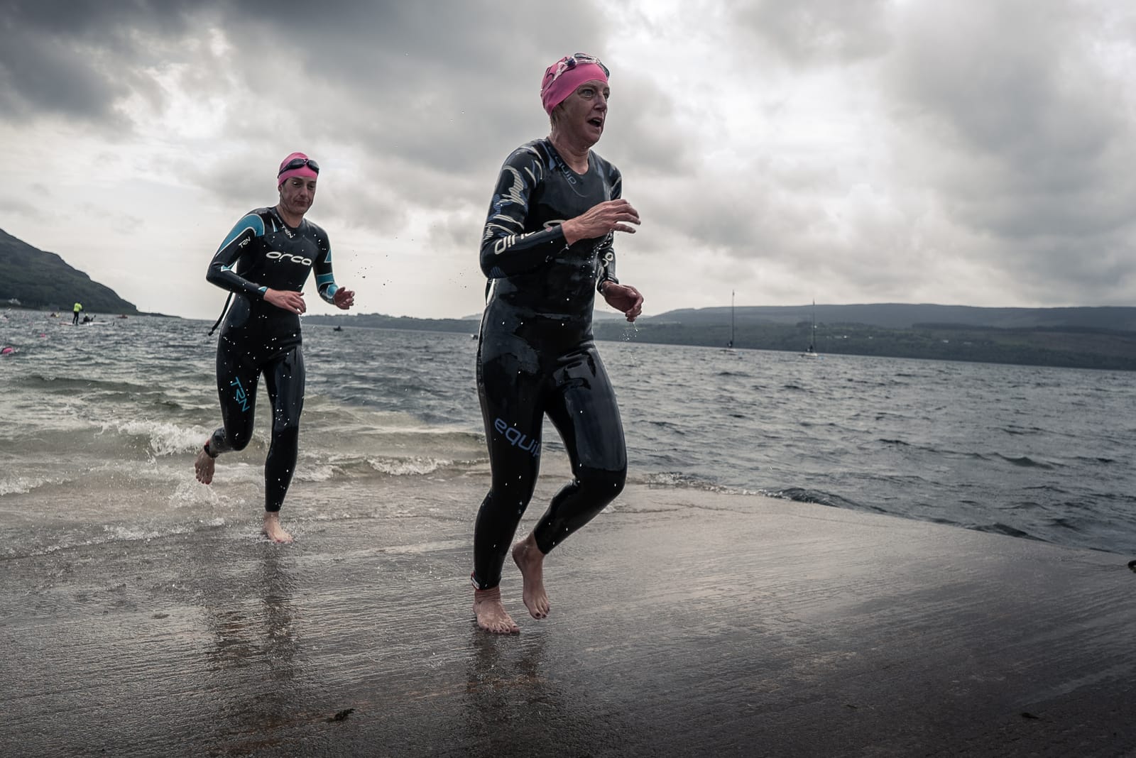
West Coast Waters, a three-film series made for Rural Dimensions across Scotland’s western seaboard, used drone footage to capture the geometry of the coastline and the relationship between sea, islands and land, something that matters directly to a project about water-based tourism experiences in Argyll and beyond. Water-level camera work then brought the viewer into the environment itself, and interviews with local operators gave the films a human anchor. The aerial shots set the stage. They did not carry the film by themselves.
Restraint on Dream Wild
Not every project needs the same amount of aerial coverage, and restraint is itself a creative decision. On the Dream Wild campaign for Wild Scotland, the trade body for the country’s wildlife tourism sector, the colour grade was designed to enhance the natural palette of the Scottish landscape without distorting it, and aerial footage was used to support that authenticity rather than to dominate the film. A campaign built around wildlife encounters and guided experiences needed the viewer close to the activity more often than it needed the view from above.
Cost and planning
Aerial work at Morrocco Media is priced on the same transparent, all-inclusive rates as the rest of a production: a full day is £650, a half day is £400, and hourly work is available at £110 per hour, with drone equipment, CAA registration and all necessary flight permissions included. A dedicated drone-only day is available for clients who need aerial footage alone, complete with editing and delivery. Where aerial work is combined with ground-based filming as part of a wider shoot, which is the more common and usually the more effective approach, it is costed as part of the overall production days rather than as a separate add-on.
Getting the balance right
The strongest Scottish tourism films treat aerial cinematography as one register among several rather than the default. The decision about how much drone footage a project needs should follow from what the story requires: a route or coastline that needs scale, a landscape whose geography needs establishing, a sense of place that ground-level footage alone cannot convey. Where the story is really about people, texture and lived experience, aerial footage supports the film best in short, purposeful doses rather than as the main event. Our aerial filming and drone cinematography service sets out how we plan, permission and deliver aerial work across Scotland, integrated into the wider production from the outset.
Frequently asked questions
Does every tourism video need drone footage?
No. Aerial footage earns its place when a project needs to show scale, geography or the relationship between landscape features that a ground camera cannot capture. Projects built around close, personal experiences, such as a single trail walk or a wildlife encounter at water level, often work better with drone footage used sparingly or not at all. We advise honestly on this as part of the brief rather than including a drone day by default.
How much aerial footage should a tourism film include?
There is no fixed proportion. On a film like the Hebridean Way challenge, where the point was to communicate a 185-mile route across the Outer Hebrides, aerial footage carried a significant share of the geographic storytelling. On a campaign built around guided wildlife experiences, such as Wild Scotland’s Dream Wild, aerial coverage supported the film without dominating it. The right balance depends on what the story is actually about.
Can drone footage and ground-level filming be combined in a single shoot day?
Yes, and this is usually the most effective approach. Combining drone footage with ground-based cinematography in an integrated shoot creates the context and scale that makes a landscape film feel immersive, and it is costed as part of the overall production days rather than as a separate booking. A dedicated drone-only day remains available for clients who need aerial footage alone.
Who operates the drones on a Morrocco Media shoot?
All aerial work is carried out by fully trained, CAA-registered operators, with airspace notifications and site-specific land permissions managed as part of the standard service. Commissioning clients do not need to navigate the regulatory framework themselves.